top of page

Properties
Click on the Parcel name to see its location via the Town of Westbrook's MapGeo system. Click on the Photo of a parcel to enlarge the picture. (not effective on cellphone)
Parcel | Date Acquired | Description | Area (Acres) | V/P | Unique ID Map/Lot | Photo |
|---|---|---|---|---|---|---|
TOBY HILL CHASE | 2006 | Upland Forest & Trail | 26.04 | 276/1039 | N0256900 134/012 | 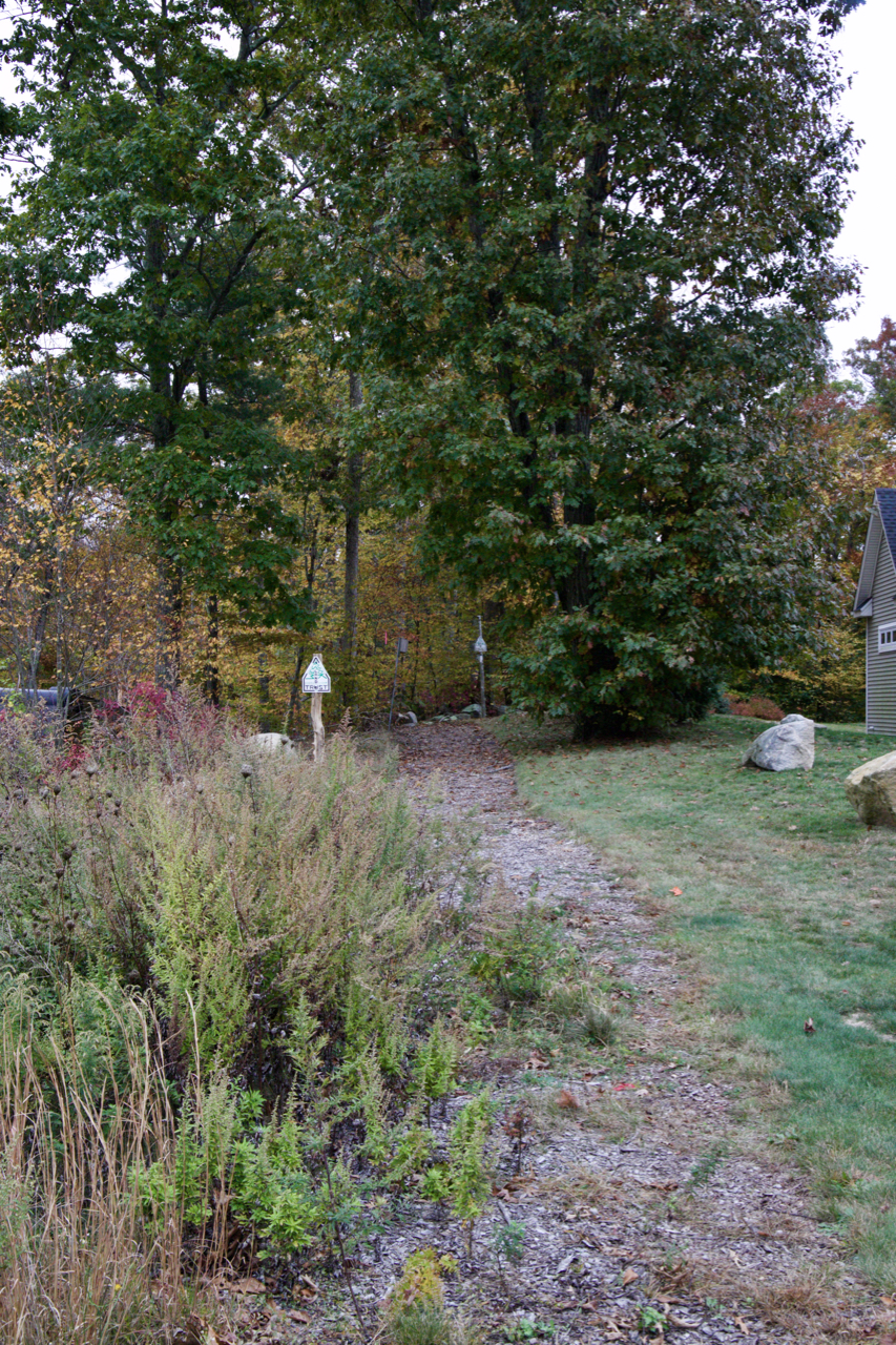 |
NOLF | 2012 | Tidal Wetland | 0.83 | 316/885 | M0223100 166/009 | |
1552 BOSTON POST RD | 2017 | Wetland & Upland Forest | 0.84 | 346/0308 |  | |
SEASIDE AVENUE | 2019 | Tidal Wetland | 11.47 | 354/0127 |  |
Holdings: Text
bottom of page