top of page

Properties
Click on the Parcel name to see its location via the Town of Westbrook's MapGeo system. Click on the Photo of a parcel to enlarge the picture. (not effective on cellphone)
Parcel | Date Acquired | Description | Area (Acres) | V/P | Unique ID Map/Lot | Photo |
|---|---|---|---|---|---|---|
HOMESTEAD HILLS | 1994 | Wetland & Upland Forest | 1.03 | 166/689 | H0164800 131/002 |  |
BLUE POINT | 1995 | Wetland & Upland Forest | 4 | 173/101 | S0341420 150/031 |  |
HORSE HILL FARM | 1996 | Wetland & Upland Forest | 13.79 | 178/816 | P0276125 114/014 |  |
WILCOX | 1998 | Creek & Upland Forest | 4.99 | 183/557 | W9760090 115/003 |  |
WILCOX | 1998 | Creek & Upland Forest | 1.11 | 186/183 | W9760030 124/005 |  |
ZITO | 1999 | Wetland Upland | 8.68 | 200/944 | F0116810 123/005 | 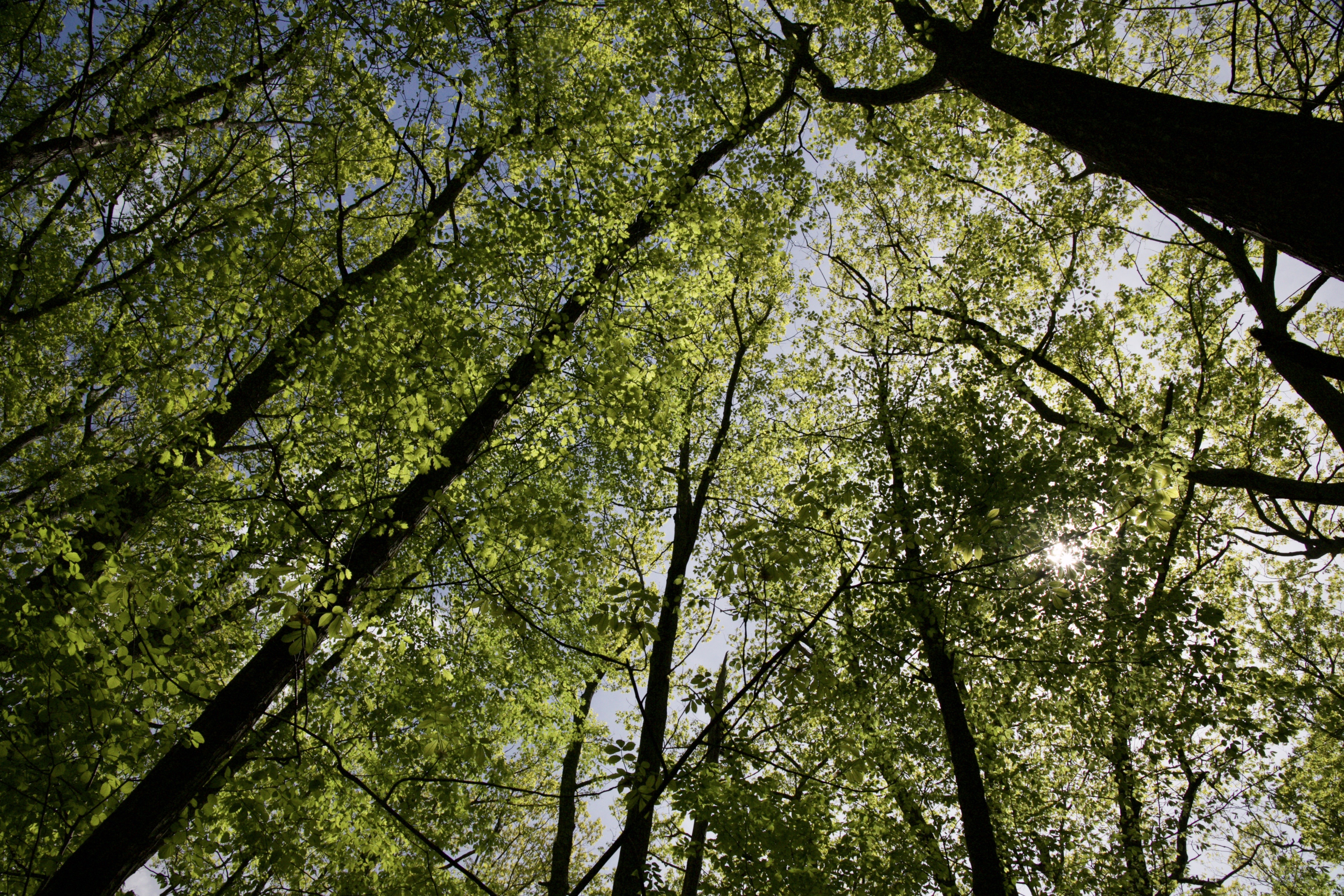 |
STANNARD GARDENS | 2000 | Tidal Wetland & Upland | 0.16 | 203/494 | S0330400 181/095 |  |
LYNN ROAD BRIDGE | 1999 | Pond, River & Upland | 0.45 | 201/442 | F0117300 116/014 | 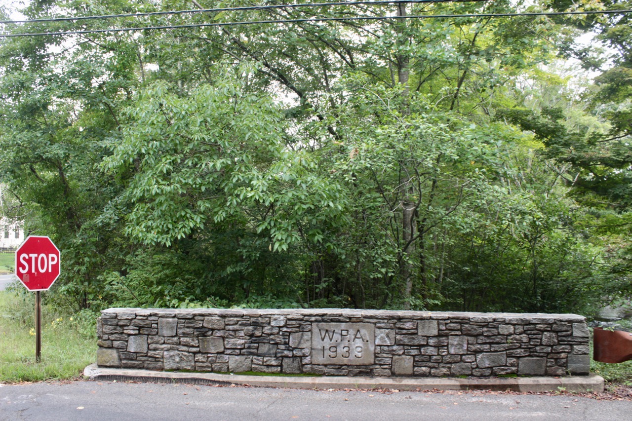 |
WINTERBERRY CIRCLE | 2002 | Wetland & Upland Forest | 1.64 | 223/353 | H0157060 163/089 |  |
TIMBERLANE DRIVE | 2006 | Creek, Wetland, Forest, Trail | 14.7 | 269/0081 | T037032A 120/023 | 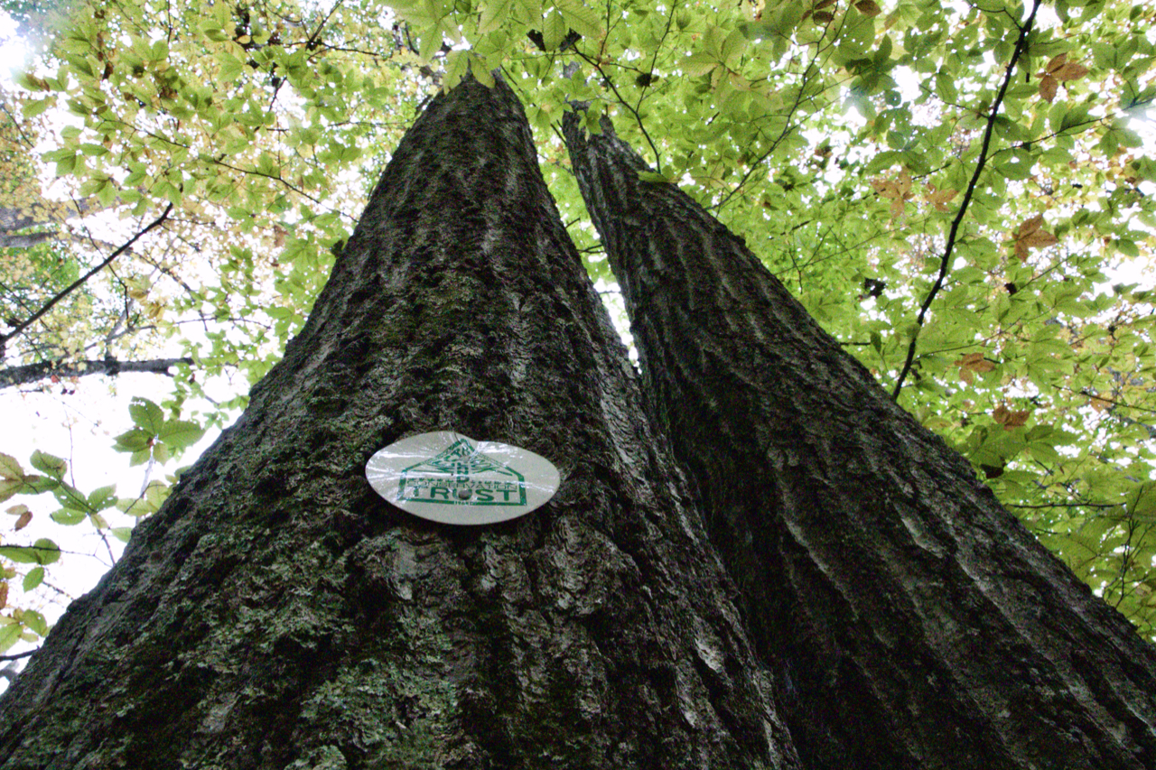 |
WESTBROOK HEIGHTS RD. | 2006 | Woodland & Trail | 0.2 | 275/131 | V0380400 177/049 |  |
POINTINA RD. | 2006 | Wetland | 0.11 | 275/855 | P0289700 192/035 |  |
Holdings: Text
bottom of page