top of page

Properties
Click on the Parcel name to see its location via the Town of Westbrook's MapGeo system. Click on the Photo of a parcel to enlarge the picture. (not effective on cellphone)
Parcel | Date Acquired | Description | Area (Acres) | V/P | Unique ID Map/Lot | Photo |
|---|---|---|---|---|---|---|
WEST POND MEADOW RD. | 1977 | Wetland & Forest | 1.34 | 84/407 | W0519700 144/040 | 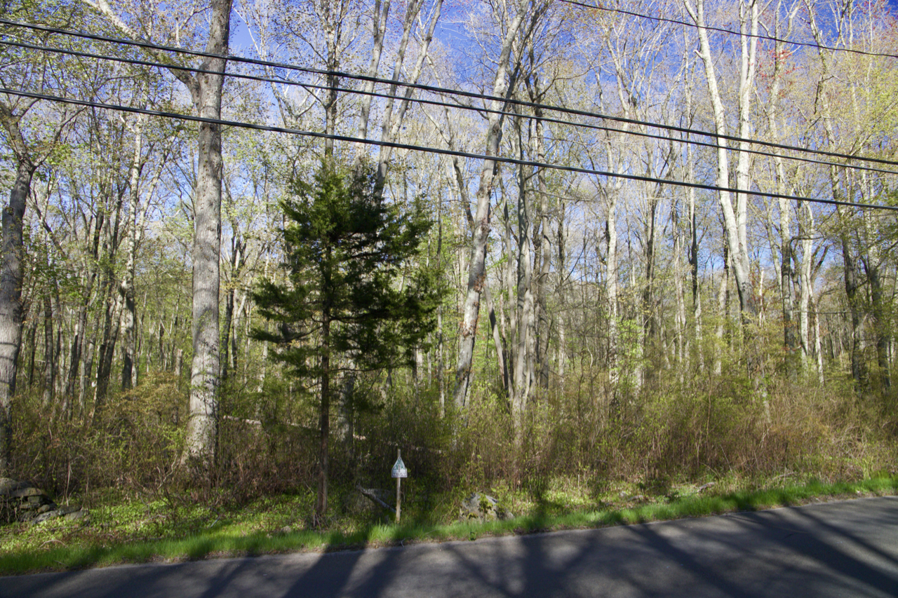 |
CARROLL STANNARD | 1974 | Tidal Marsh | 0.16 | 77/267 | W0520000 188/012 |  |
BARN WAY | 1979 | Tidal Wetland & Upland | 2.57 | 88/207 | W0520100 182/058 |  |
ORTNER DR. | 1988 | Creek & Upland Forest | 3.24 | 126/634 | W0520200 142/002 | 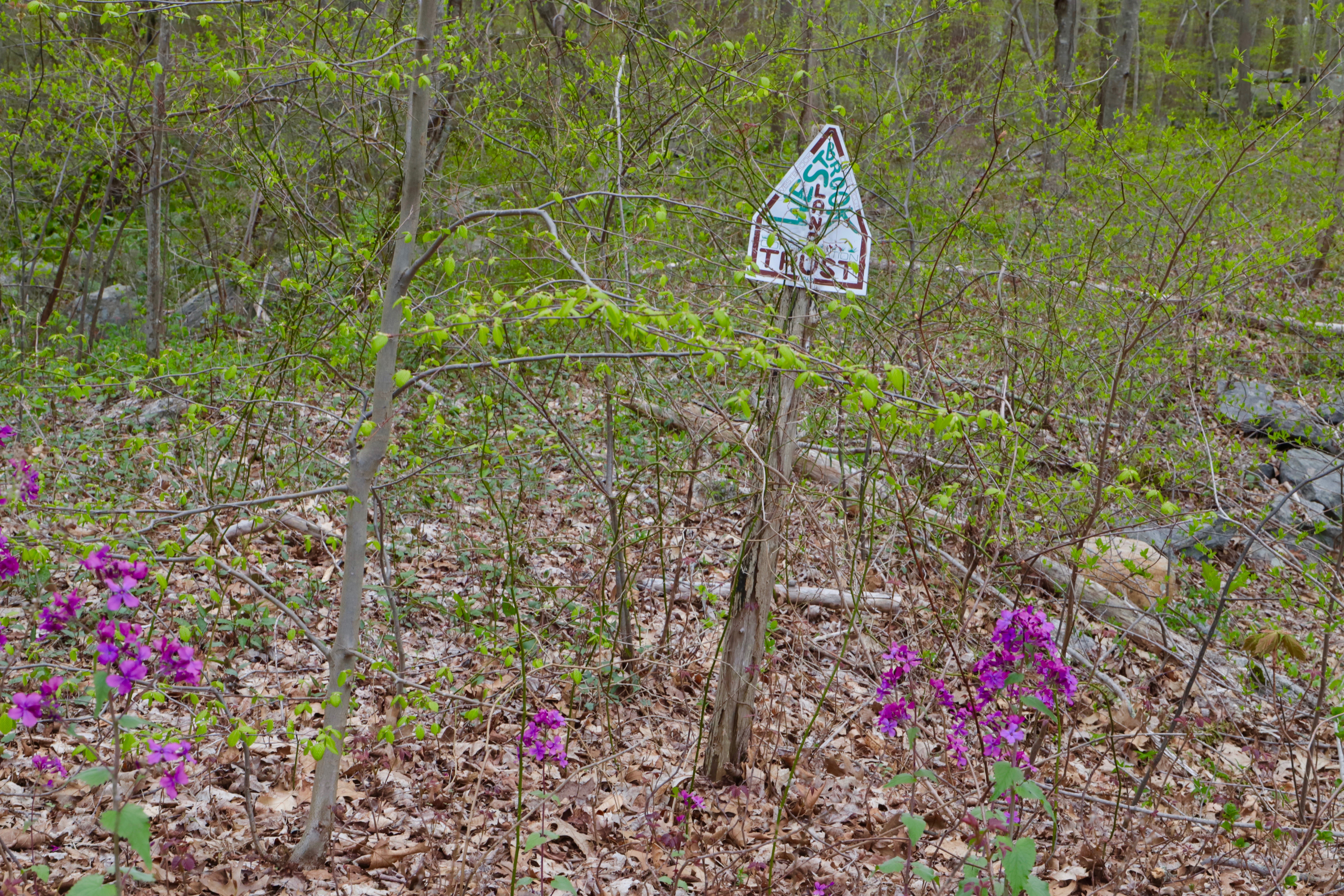 |
PRITCHETT DR. | 1989 | Creek & Upland Forest | 2.32 | 131/539 | W0519800 113/028 | 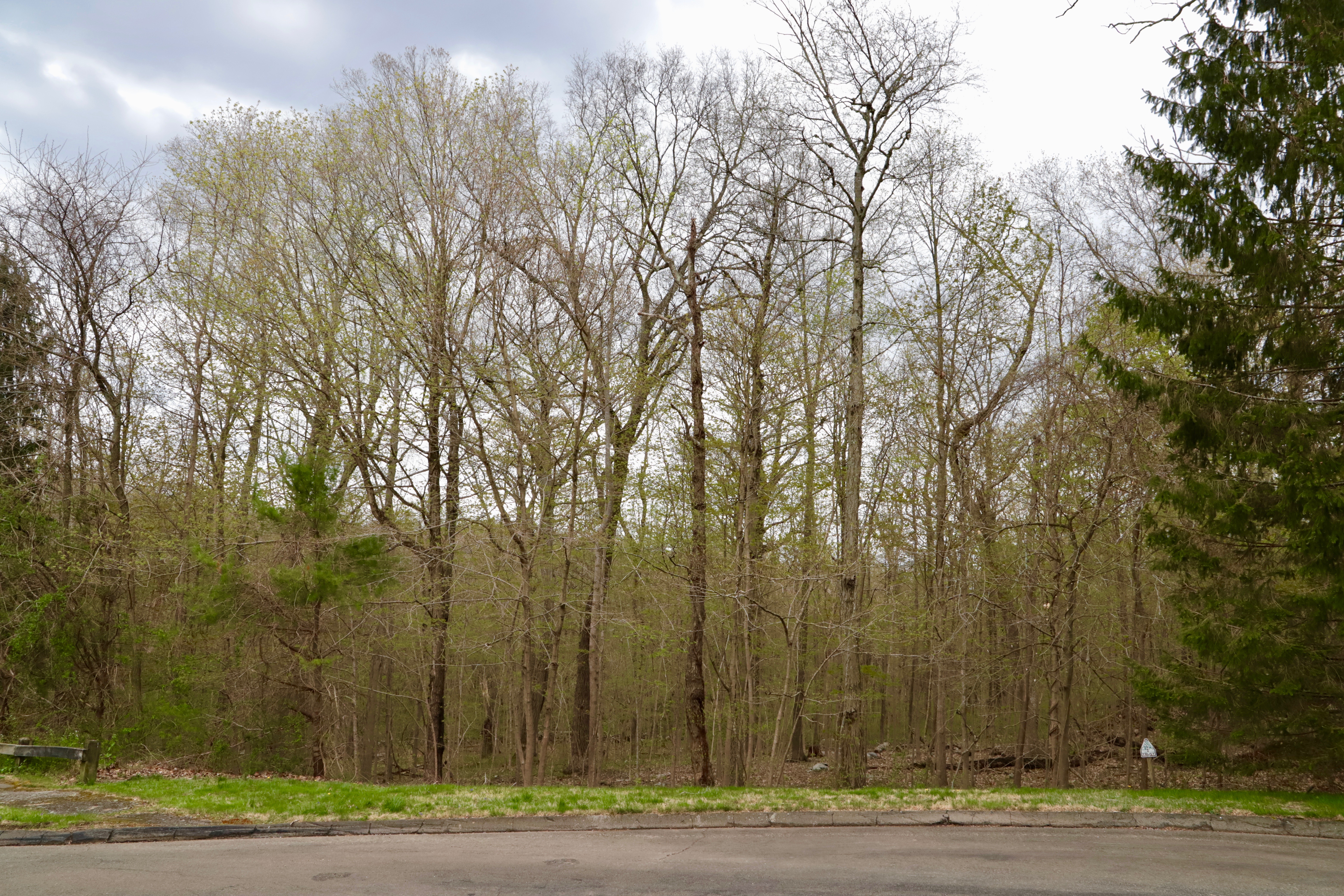 |
FISHING BROOK RD. | 1989 | Brook & Upland Forest | 9.63 | 131/554 | W0519000 153/019 |  |
POND MEADOW SPLIT | 1993 | Vernal Pool & Upland | 0.5 | 158/620 | C0068800 145/011 | 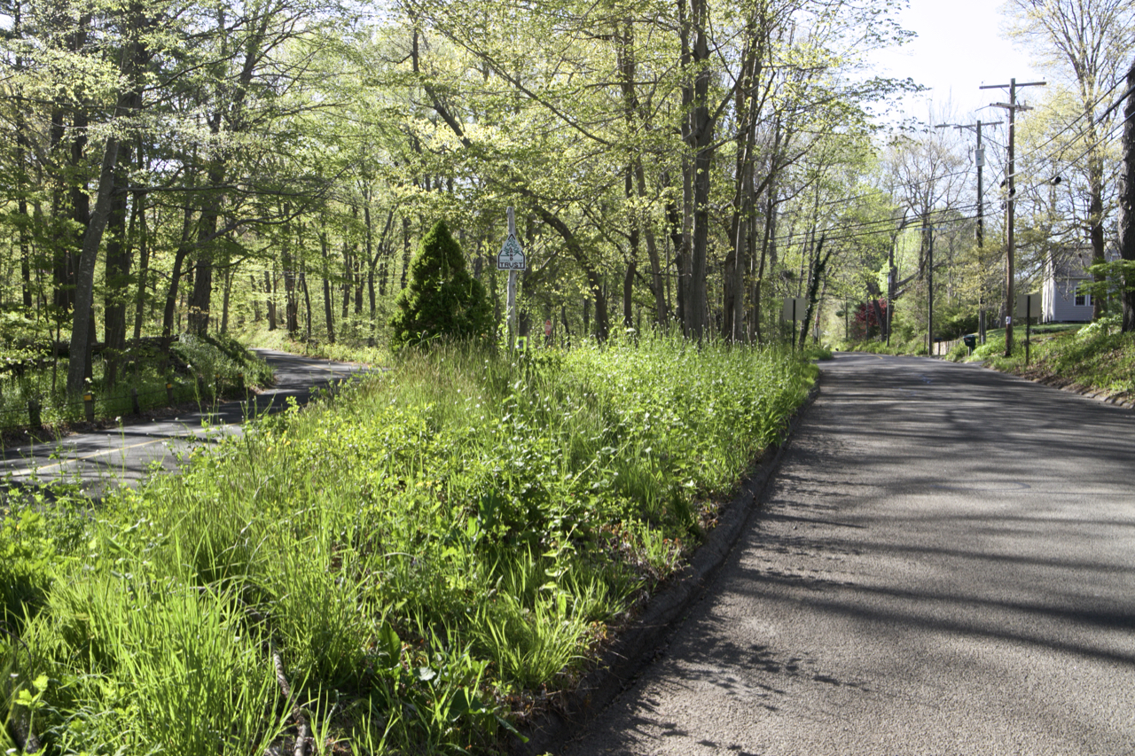 |
TROJANOWSKI | 2001 | Vernal Pool & Upland | 0.9 | 217/177 | B0028602 145/1035 | 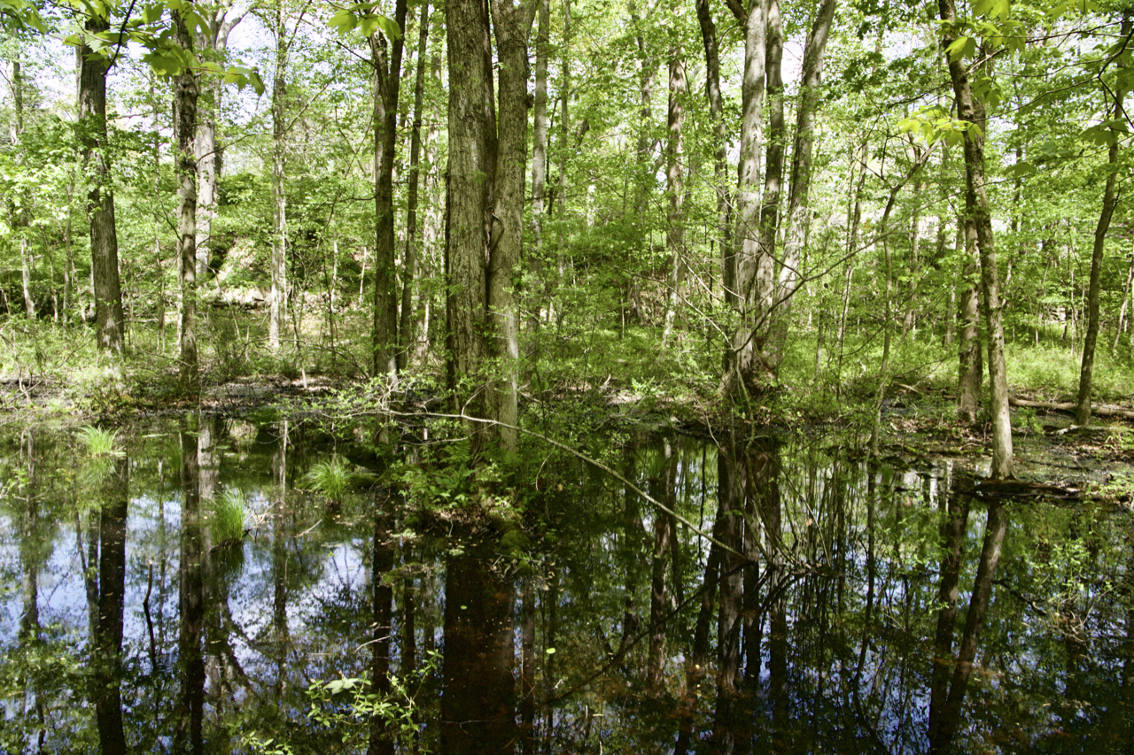 |
PLYMOUTH RD. | 1993 | Wetland & Upland Forest | 5.77 | 160/890 | Z0932900 150/028 |  |
BIG CREEK (in 2019 transferred to US Fish & Wildlife) | 1994 | Transferred to USFWS | 1.9 | 166/333 | M0218500 186/030 | |
SEACAPE | 1994 | Tidal Wetland & Upland | 0.13 | 166/388 | R0307400 182/097 |  |
HOMESTEAD HILLS | 1994 | Wetland & Upland Forest | 2.28 | 166/698 | H0165700 131/003 |  |
Holdings: Text
bottom of page